 更大解析度:
 Herbarium Sheet
- Accession Number
- HAST:58863
- 學名
- Maesa japonica (Thunb.) Moritzi ex Zoll.
- 中文名
- 山桂花
- 科名
- MYRSINACEAE (紫金牛科)
- 屬名
- Maesa (山桂花屬)
- ARK Identifier
- ark:/18474/b2g44hx43
- Citation
- https://n2t.net/ark:/18474/b2g44hx43
Gathering
Collector
Companion
Companion (In English)
Field Number
Collect Date

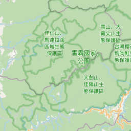
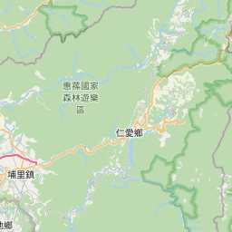

Environment
微生育地 (微棲地?)
Identifications
| Serial Number | Scientific Name | Identifier | Date |
|---|---|---|---|
| 0 | Maesa japonica (Thunb.) Moritzi ex Zoll. |